Introduction
Seismic Risk is a real-time earthquake intelligence platform that combines earthquake monitoring, early warning alerts, fault-system analysis, hazard assessment, ground-motion estimation, forecasting models, and scientific research tools.
It transforms complex seismic information into maps, charts, indicators, forecasts, and alerts for education, research, engineering, emergency planning, and decision-making.
Whether you are a student, researcher, engineer, institution, emergency planner, or simply interested in earthquakes, Seismic Risk provides the tools needed to better understand seismic activity and potential risks.
Figure 1 — Home Page
How Seismic Risk Works
1. Collect Data
The platform continuously ingests earthquake and seismic information from authoritative global sources.
2. Analyze Risk
Advanced models evaluate seismic trends, identify anomalies, estimate hazard levels, and quantify evolving risk.
3. Act with Insight
Interactive maps, dashboards, notifications, and forecasting tools help users make informed decisions based on scientific evidence.
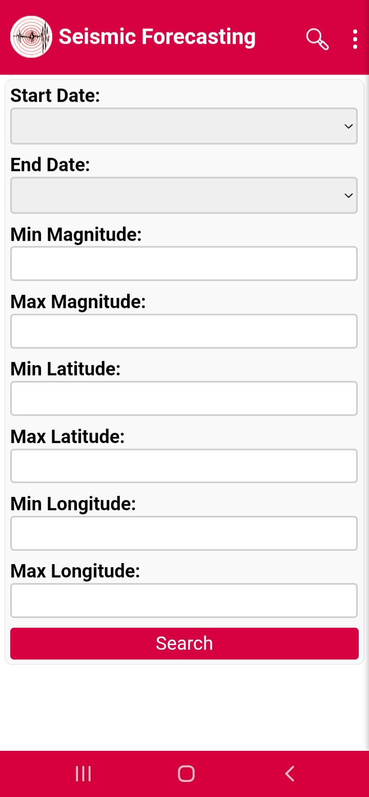
Figure 3 — Data filter
Getting Started
Creating an Account
To create an account:
- Open the application.
- Select Login.
- Click Create Account.
- Enter your email address.
- Create and confirm your password.
- Click Create Account.
Login
To sign in:
- Open the Login page.
- Enter your email address.
- Enter your password.
- Optionally select Remember Me.
- Click Sign In.
If you forget your password, use the Forgot Password option.
Figure 4 — Registration Page
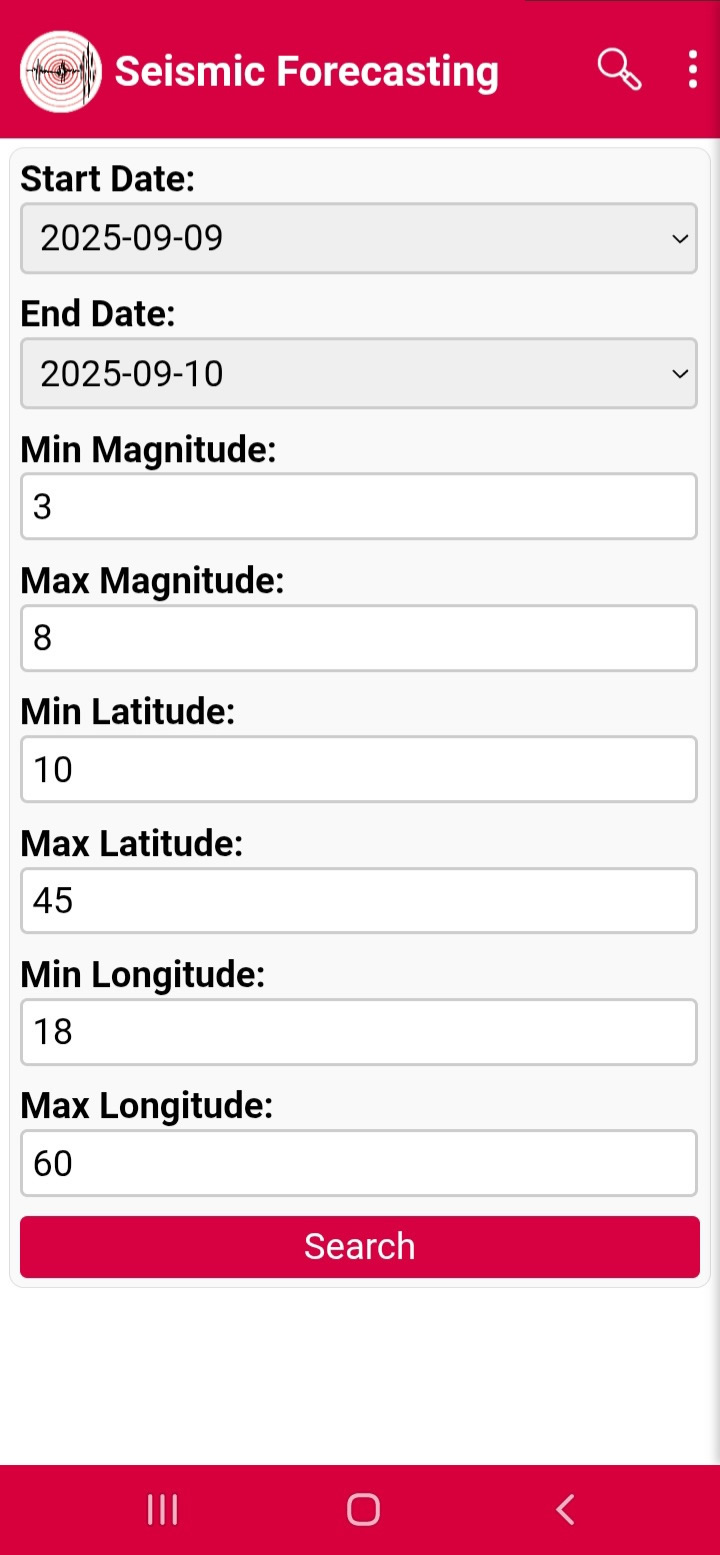
Figure 5 — Login Page
Real-Time Earthquake Monitoring
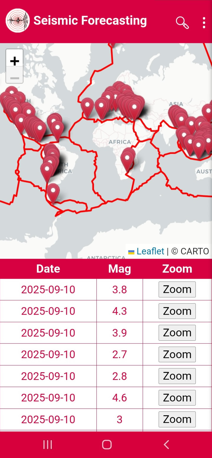
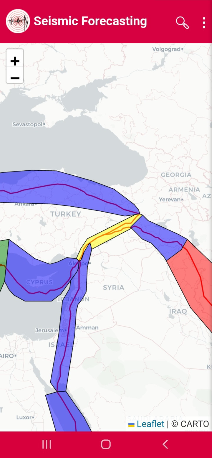
The Earthquake Monitoring page is the core component of Seismic Risk.
The interactive map displays:
- Recent earthquakes
- Earthquake magnitudes
- Earthquake locations
- Fault systems
- Event information
Users can select any earthquake marker or use the Zoom button to access detailed earthquake information. The page updates automatically as new earthquake events become available.
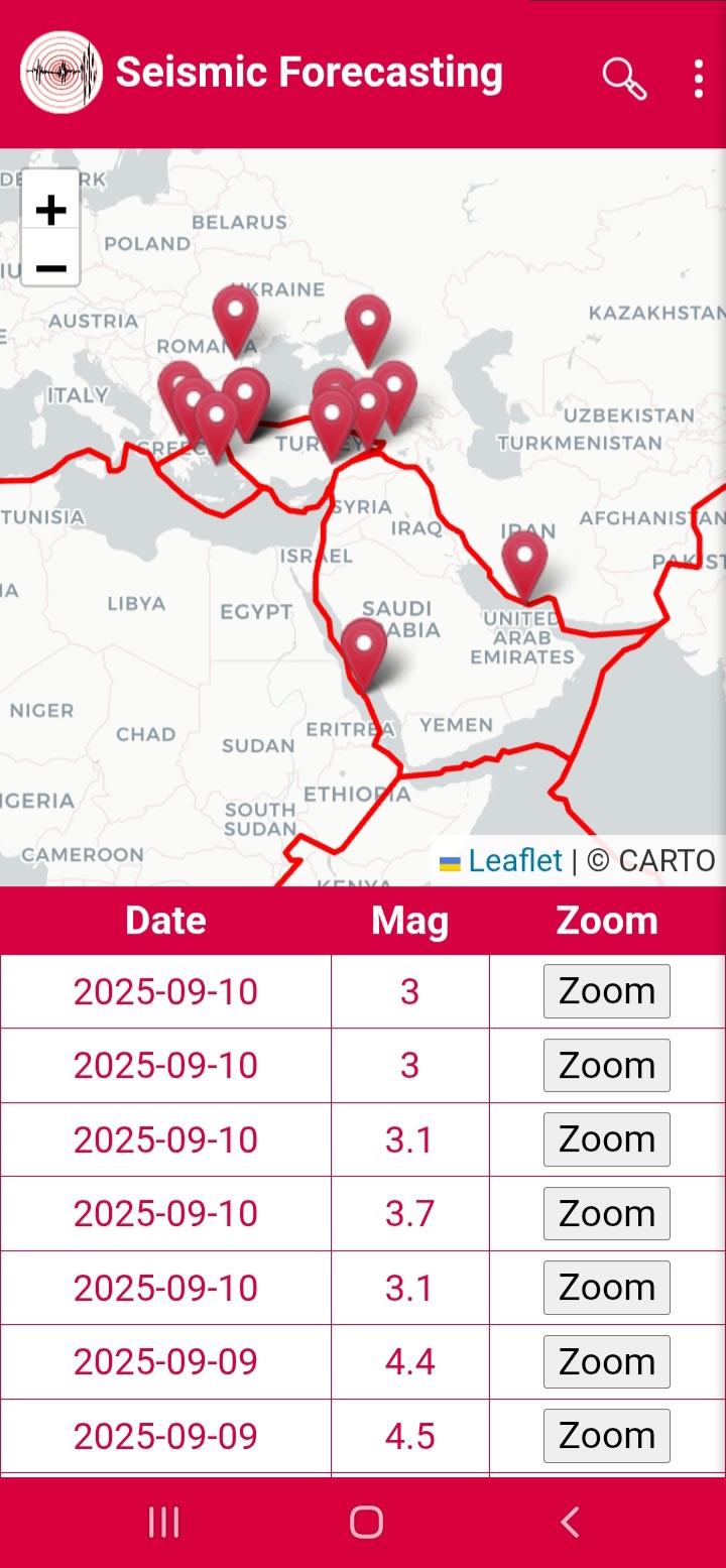
Searching for Earthquakes
The Search page allows users to filter earthquakes by date range, magnitude range, latitude range, and longitude range.
Earthquake Details
The details page provides date, time, magnitude, depth, latitude, longitude, and a dedicated map centered on the earthquake epicenter.
Figure 6 — Earthquake Monitoring
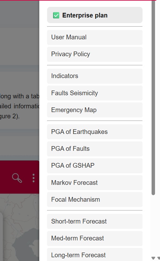
Figure 7 — Search Page
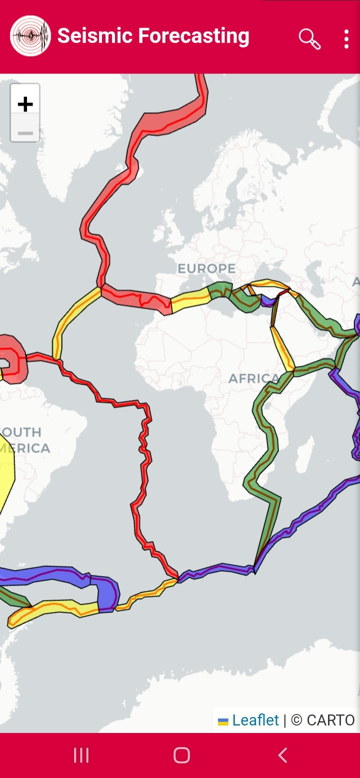
Figure 8 — Earthquake Details
Notifications and Early Warning
Seismic Risk uses a unified alert system for both Earthquake Notifications and Early Warning alerts.
To receive alerts:
- Open Settings.
- Enable Notifications.
- Select your preferred distance.
- Select your minimum magnitude.
- Allow notifications on your device.
The same settings are automatically used for both notification types.
Earthquake Notifications
Notifications are sent when an earthquake occurs within the selected distance and exceeds the selected magnitude threshold.
Early Warning
The Early Warning system continuously analyzes seismic activity and rapidly distributes alerts when significant activity is detected.
Example
If a user selects Notifications Enabled, Distance: 300 km, and Minimum Magnitude: 4.0, the system may send both earthquake notifications and Early Warning alerts.
Figure 9 — Notifications and Early Warning
Advanced Analysis Tools
Indicators
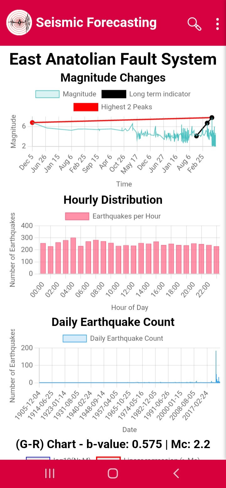
Provides magnitude variation, Gutenberg–Richter analysis, b-value analysis, z-value analysis, and completeness magnitude analysis.
Faults Seismicity
Evaluates fault-system behavior and parameters such as maximum expected magnitude, b-value, seismic activity rate, and slip rate.
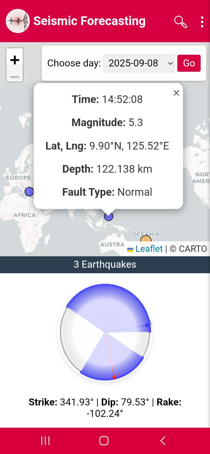
Focal Mechanism
Visualizes earthquake fault movement using focal mechanism diagrams and allows users to analyze strike, dip, rake, fault type, and stress axes.
Emergency Map
Provides a color-coded visualization of forecasted seismic hazard levels.
Omori Fit
Analyzes aftershock sequences following major earthquakes and compares observed activity with theoretical aftershock decay models.
Induced Earthquakes
Investigates potential triggering relationships between major earthquakes and surrounding seismic activity.
Figure 10 — Indicators
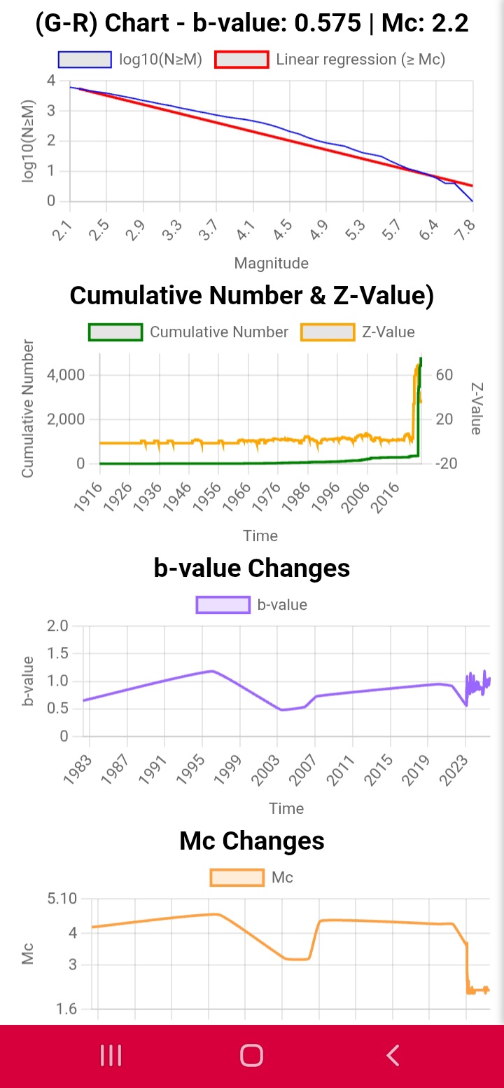
Figure 11 — Faults Seismicity
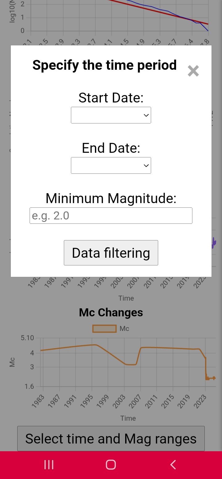
Figure 12 — Focal Mechanism
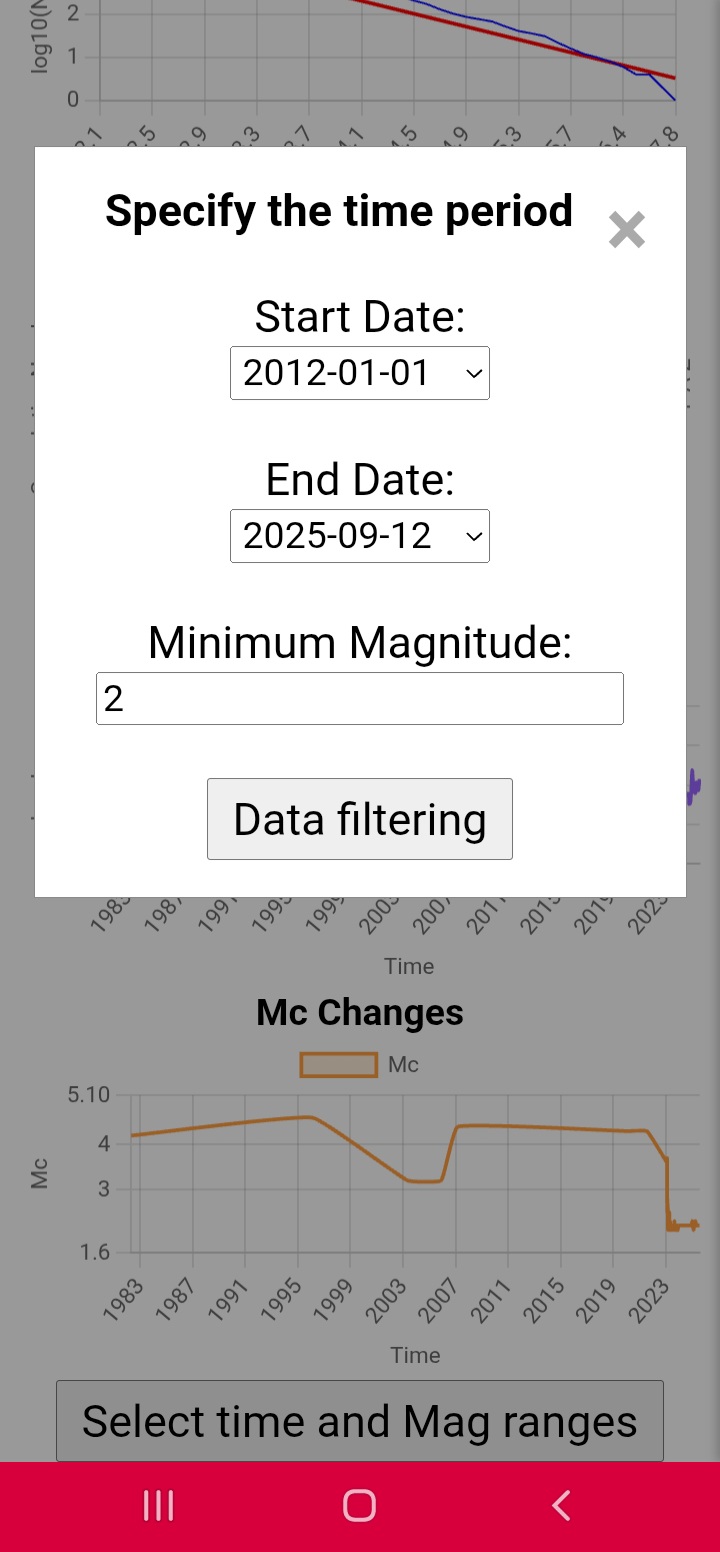
Figure 13 — Emergency Map
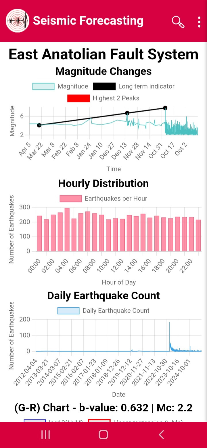
Figure 14 — Omori Fit
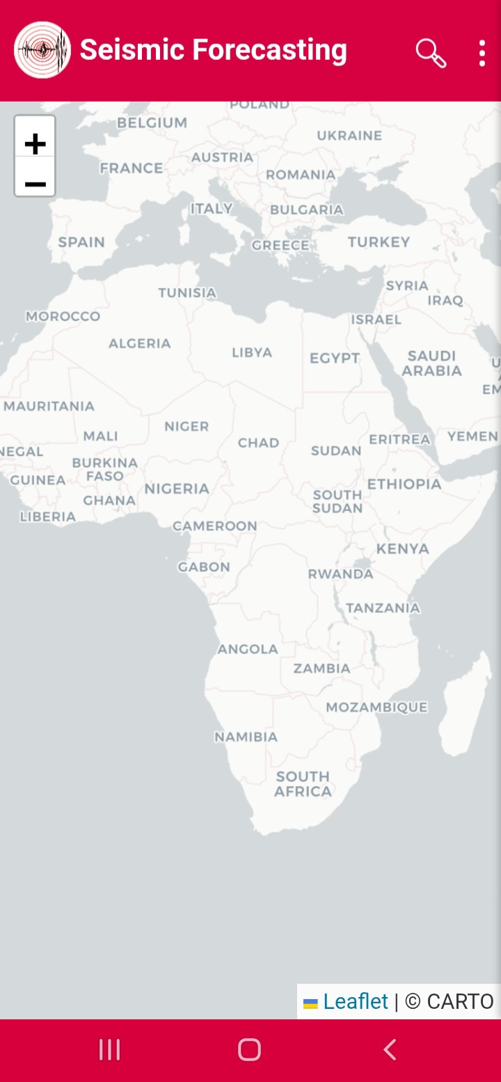
Figure 15 — Induced Earthquakes
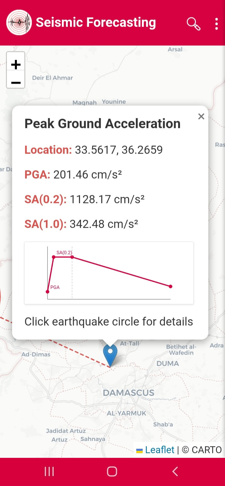
Ground Motion Analysis
Ground-motion analysis helps estimate earthquake shaking intensity and potential hazard levels.
PGA of Earthquakes
Calculates Peak Ground Acceleration, Spectral Acceleration SA(0.2), and Spectral Acceleration SA(1.0) using nearby earthquake events.
PGA of Faults
Displays fault-based seismic hazard zones using PGA color maps and fault-system overlays.
PGA of GSHAP
Provides probabilistic seismic hazard estimates using fault-system geometry, recurrence models, and hazard calculations.
Figure 16 — PGA of Earthquakes
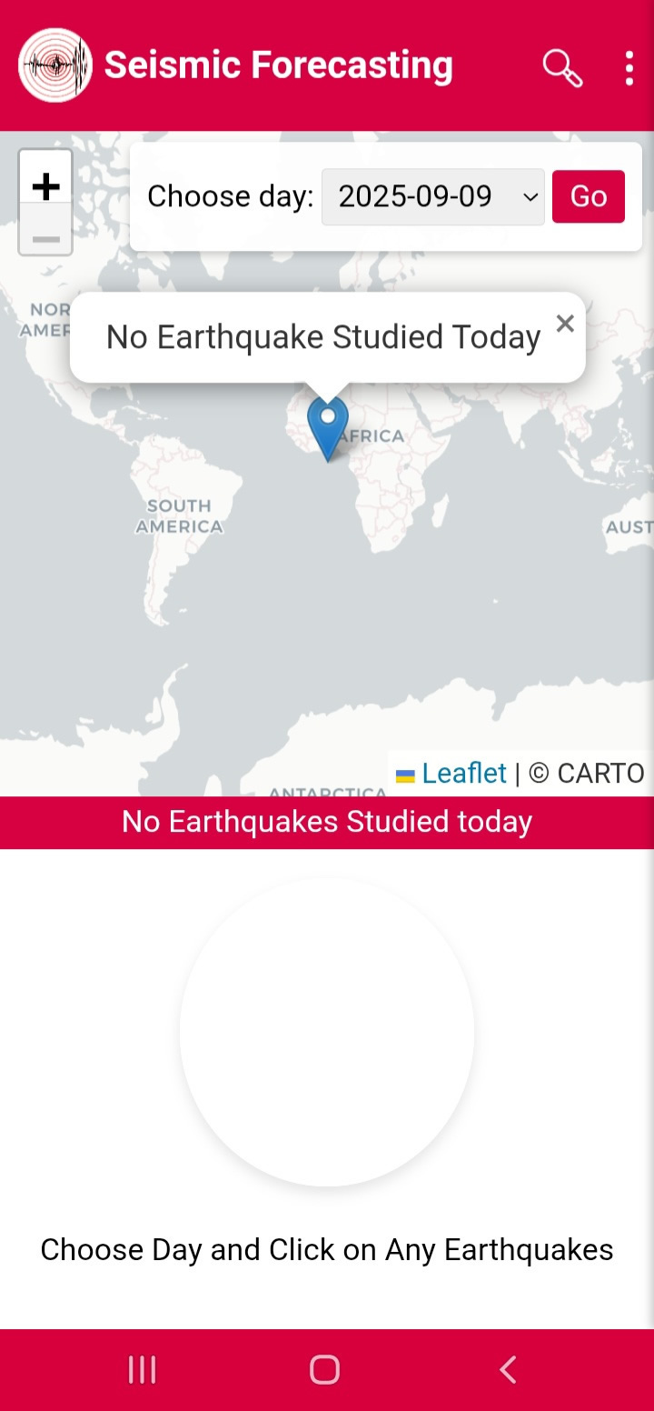
Figure 17 — PGA of Faults
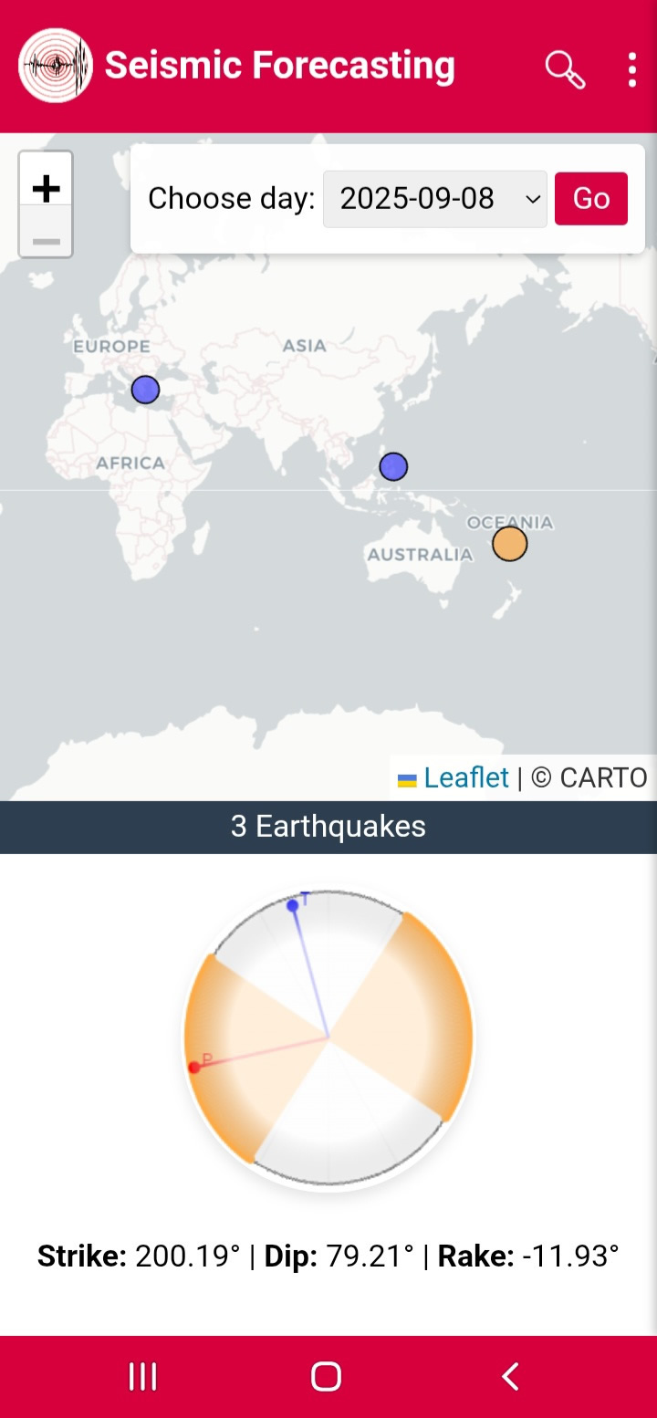
Figure 18 — PGA of GSHAP
Forecasting Tools
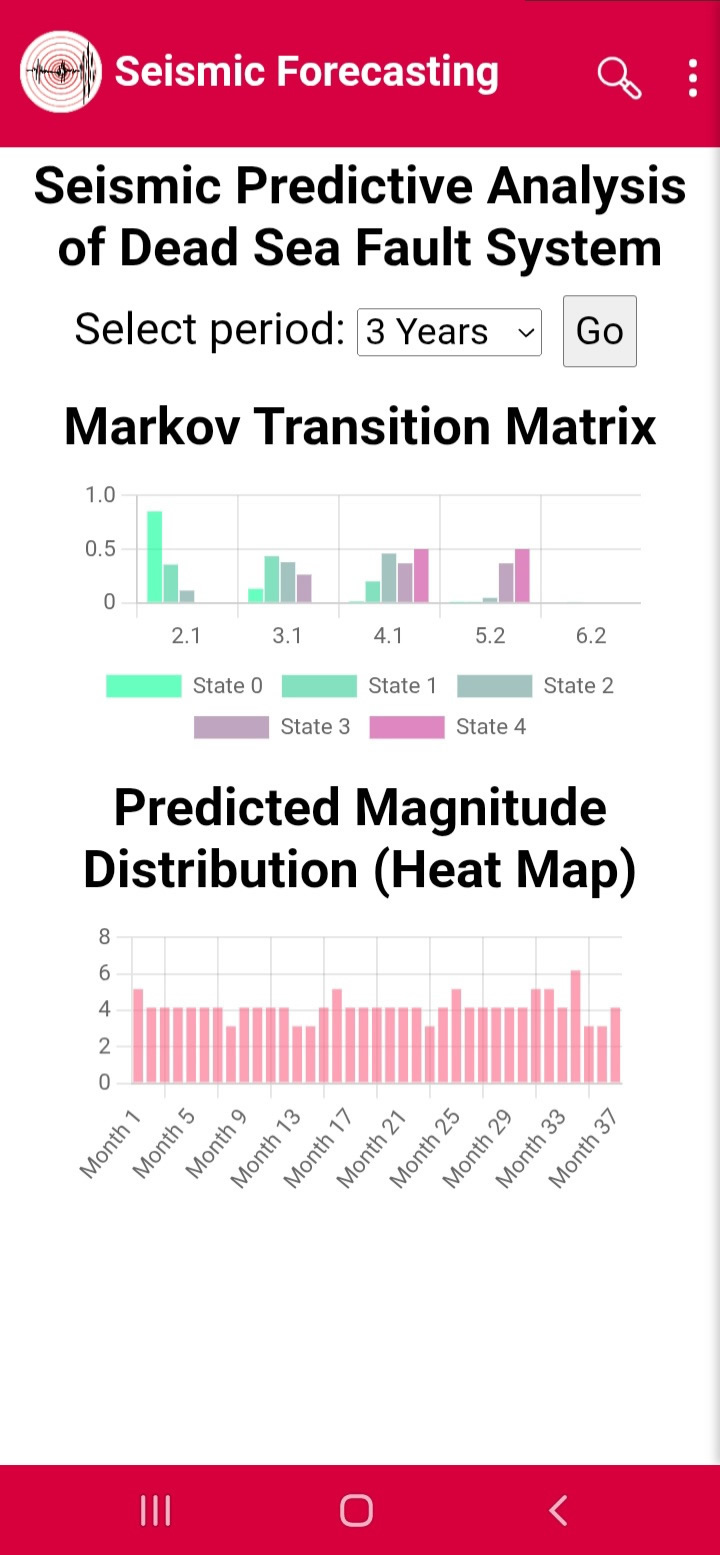
Markov Forecast
Predicts future earthquake magnitude distributions using historical seismic transitions and probabilistic state models.
Short-Term Forecast
Uses machine-learning models and recent seismic activity to estimate short-term seismic behavior.
Medium-Term Forecast
Uses earthquake sequence analysis and trend projection techniques to estimate future seismic activity.
Long-Term Forecast
Combines multiple indicators and confidence scores to evaluate long-range seismic behavior.
Figure 19 — Markov Forecast
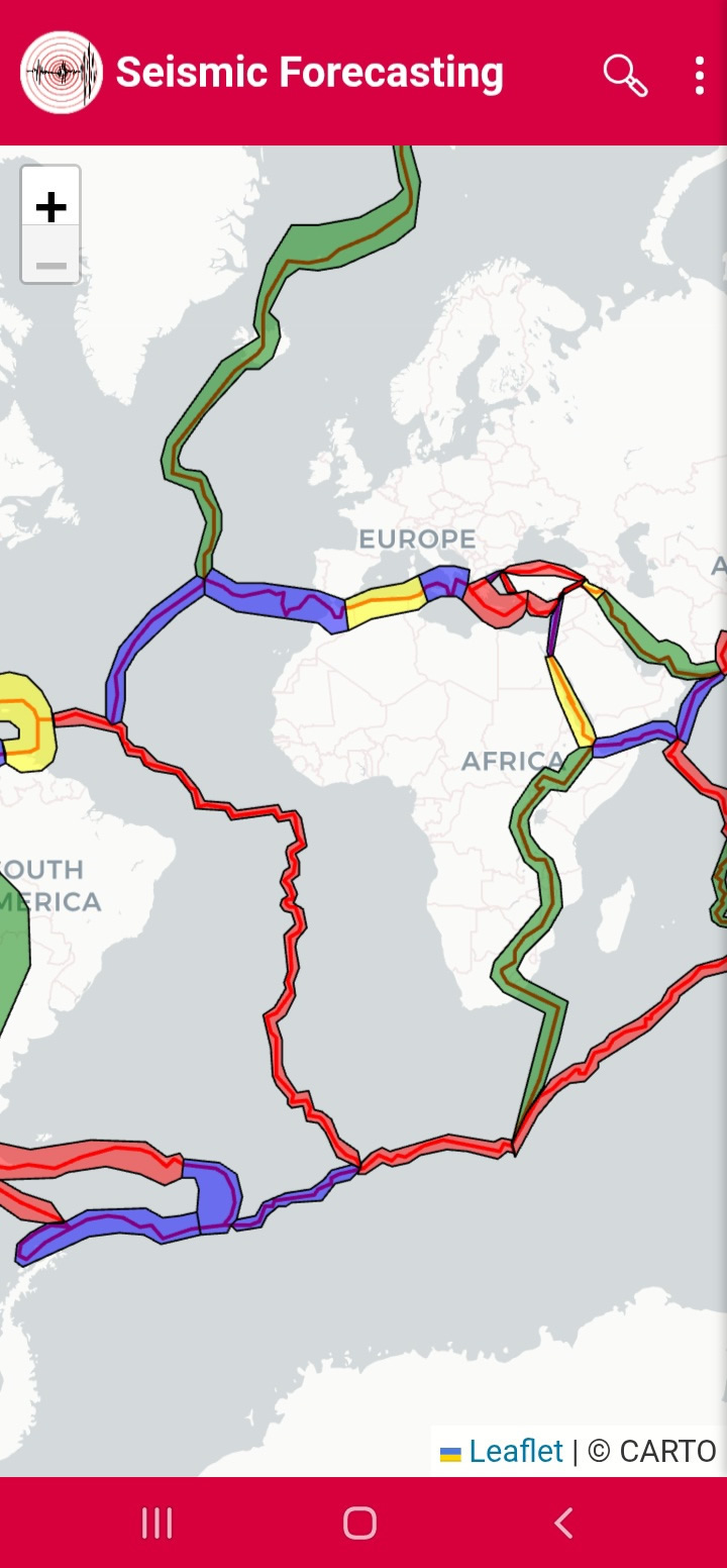
Figure 20 — Short-Term Forecast
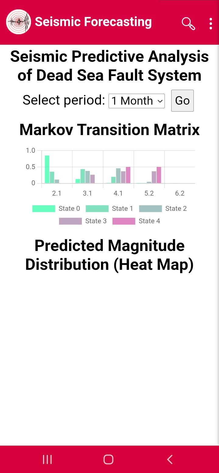
Figure 21 — Medium-Term Forecast
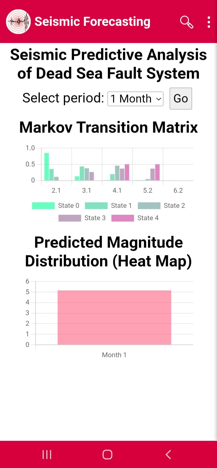
Figure 22 — Long-Term Forecast
Built for Professionals
Seismic Risk is designed for:
- Researchers
- Engineers
- Universities
- Emergency Management Organizations
- Government Agencies
- Public Safety Professionals
- Risk Assessment Specialists
The platform supports scientific analysis, operational monitoring, hazard assessment, and decision support.
Privacy Policy
Users should review the Privacy Policy before using the application.
The Privacy Policy describes:
- Data collection practices
- Location usage
- Notification services
- User rights and responsibilities
Disclaimer
Seismic Risk is a seismic intelligence and decision-support platform developed for earthquake monitoring, hazard assessment, scientific analysis, engineering evaluation, and research.
Forecasts, hazard estimates, ground-motion calculations, and analytical results are probabilistic and should not be interpreted as deterministic earthquake predictions or official government warnings.
Always follow instructions and guidance issued by local emergency management authorities.
Contact Information
Seismic IT Solutions